NIST · 2025
NIST's January 2025 article reports that tools providing detailed real-time intelligence can cost US$50,000 or more. This is not a price for all drones or a CoVista cost or savings claim.
Drones in Disaster Zones ↗ CoVista
SOURCES & SCOPE
Research establishes the problem; photographs show real settings. They are not CoVista results, deployments or partner endorsements.
NIST's January 2025 article reports that tools providing detailed real-time intelligence can cost US$50,000 or more. This is not a price for all drones or a CoVista cost or savings claim.
Drones in Disaster Zones ↗The challenge targeted real-time 3D mapping in indoor, low-light, GPS-denied or constrained settings to support awareness before entry. These are research needs, not a statement that CoVista has achieved every capability.
First Responder UAS 3D Mapping Challenge ↗Section 8.3.7 of the 2021 finals rules specifies a 60-minute final scored run. This is a team competition window, not single-aircraft endurance, an emergency response target or CoVista performance.
Competition rules, revision 1, May 25, 2021 ↗Start with two nodes in a controlled indoor space. Compare collaboration and independent passes under equal combined flight budgets; measure surface coverage, alignment error and false merges. Website maps, routes and returns are simulated. No measured coverage improvement, rescue success rate or autonomous-flight performance is claimed.
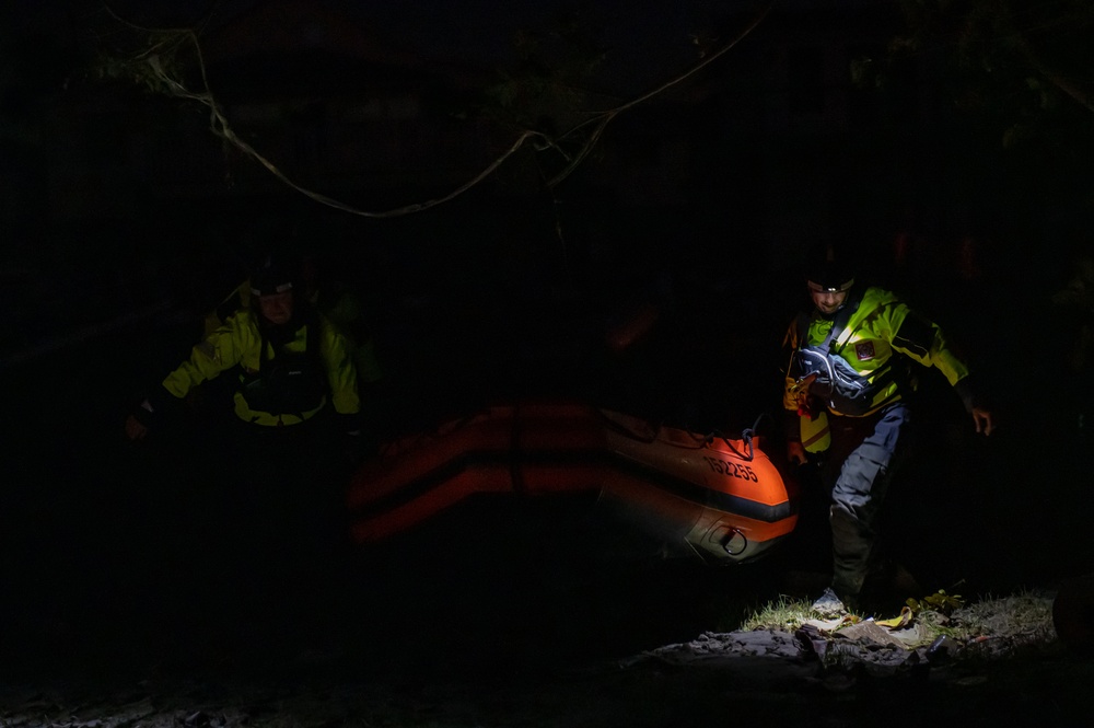
U.S. Coast Guard photo by Petty Officer 3rd Class Gabriel Wisdom. Hurricane Ian night-response operations, Sept. 29, 2022. Public domain, per source record.
DVIDS photo 7443066 ↗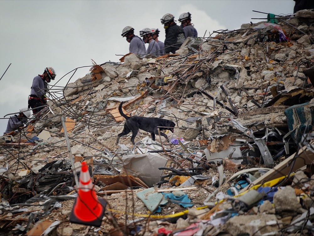
FEMA / Lameen Witter. Search-and-rescue personnel clearing building-collapse debris, July 1, 2021. Public domain, per source record.
DVIDS photo 6717684 ↗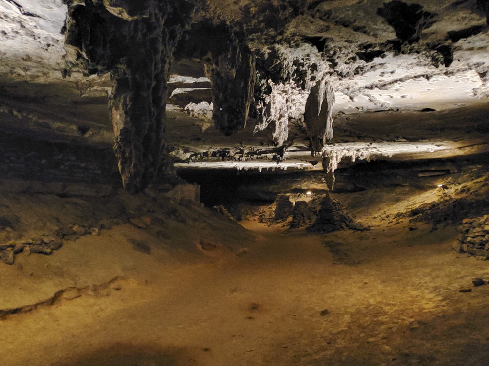
NPS Photo / David Kem. Stalactites and rock formations, March 10, 2020. Source metadata: Public domain, Full Granting Rights. No claim to original U.S. Government works.
NPS asset record ↗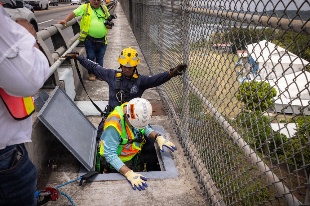
U.S. Army photo / Rydell Tomas Jr., USACE Mobile District. Engineers preparing to access the Bridge of the Americas underside, April 10, 2026. Public domain, per source record.
DVIDS photo 9610654 ↗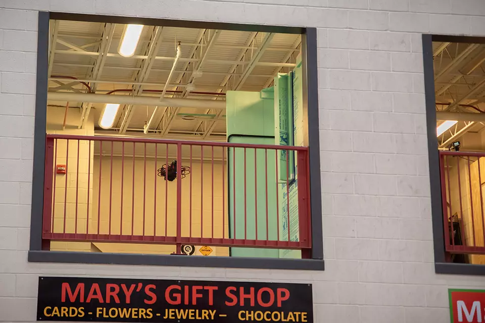
R. Wilson / NIST. Indoor mapping competition photograph, published with NIST's January 29, 2025 article. This shows another system, not CoVista hardware.
NIST original article ↗The appearance of U.S. Department of War (DoW) visual information does not imply or constitute DoW endorsement.
DVIDS visual-information use conditions ↗All photographs illustrate application context. The agencies, people and equipment shown are not presented as CoVista partners. Interactive 3D environments are simulated; the UAV mesh is reconstructed from a user-supplied photo reference.