Plan routes.
Understand passages and obstacles.
 CoVista
UBC CAPSTONE CONCEPT · 2027
Collaborative drone mapping and modular sensing for search and inspection.
Seeking teammates & application partners
Explore ↓MODULAR SENSING PLATFORM
Choose a mission and combine sensors. See what each module adds to the shared map.
Drones collect different views with multiple modules active at once.
Send cues, locations and evidence frames first. Operators review them on a shared map.
Check mass, balance and power with multiple modules fitted. Verify sensor timing and calibration. Buffer results onboard during link outages and upload on reconnection.
Operators verify thermal and visual cues. The interface uses simulated data. Mounting and onboard processing are proposed for validation.
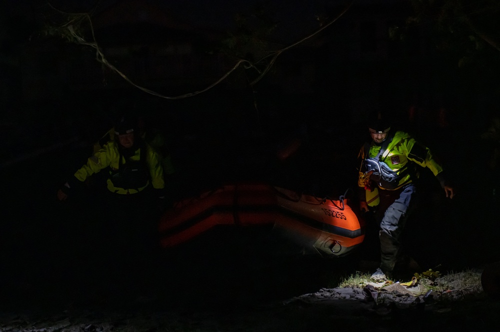
REAL CONDITIONS · RESEARCH GOAL
A shared picture of passages, obstacles and unseen areas—for planning before entry.
Why it matters ↓Night-response context · U.S. Coast Guard, 2022Our goal:
make complex spaces easier to understand.
Understand passages and obstacles.
Observe surfaces hidden from one pass.
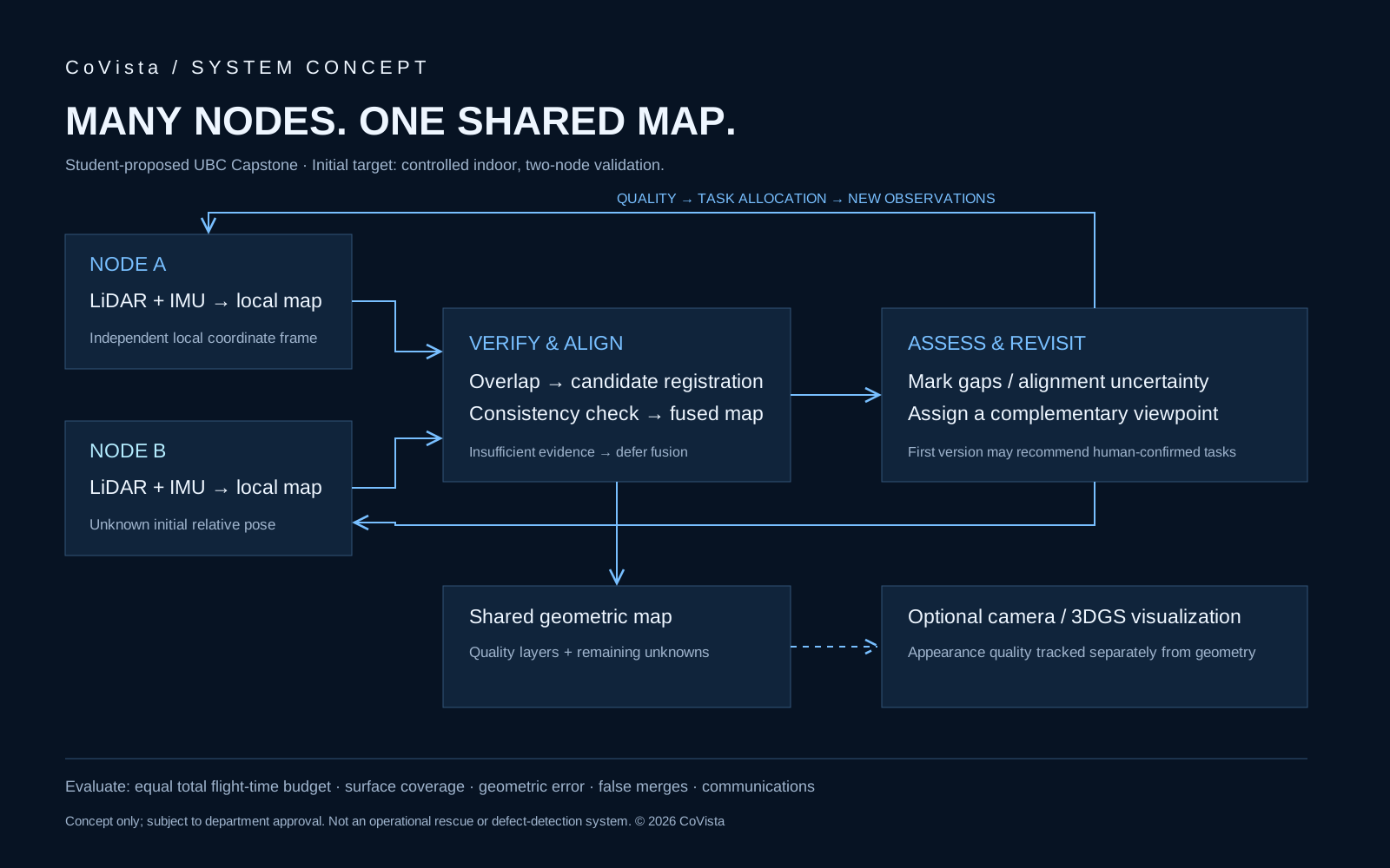
Combine observations and retain unknowns.
NIST's 3D mapping challenge addresses indoor, low-light and GPS-denied response.
Some detailed real-time intelligence tools can cost this much, NIST noted.
Read source ↗The SubT final scored-run window—not a CoVista flight-time claim.
Rules §8.3.7 ↗Start indoors: test map alignment and complementary observations.
How we test ↓NIST UAS 5.0 ↗External sources establish context. CoVista remains a Capstone research proposal.
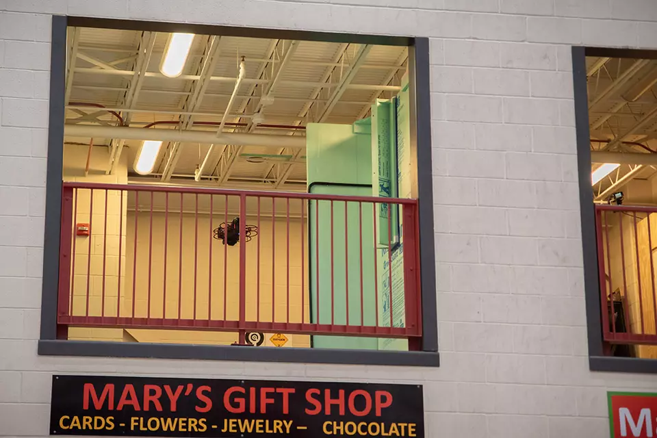
START WITH MEASUREMENT
Compare collaboration with independent passes under the same combined flight budget.
Photo-reference UAV. Simulated environment and scan.
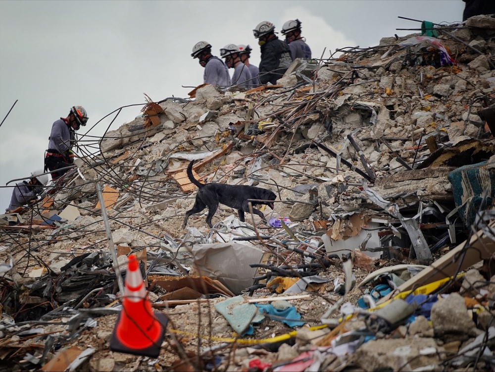
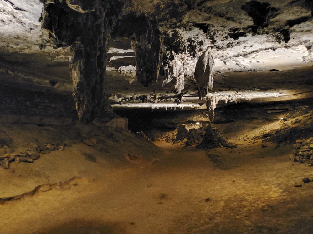
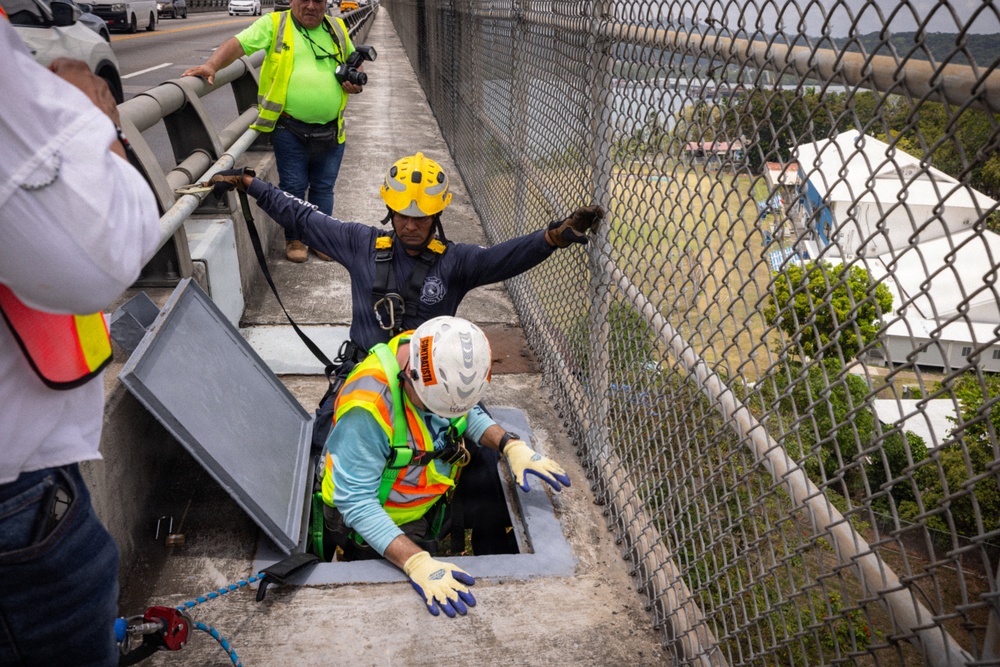
Real-world context. CoVista has not been deployed at these sites.
Map passages and hidden corners.
Explore spaces without GPS.
See beneath decks and around supports.
Bring a challenge. Help shape the project.